Geodetic Engineering
- Preparation of Field Detailed Terrain Models (DTM) (Including 3D)
- Preparation of Detailed Terrain Models for Water Basin Bed (sea, lake, river, etc.)
- Bathymetrical Measurements
- Preparation of Digital Elevation Models (DEM)
- Preparation of Field and Topographical Maps
- Preparation of various Geodetic and Topographical Reports
- Preparation of Statical Observation Reports for Existing and New Established Control Points/Benchmarks
- Geospatial GIS Solutions
- Topographical Survey, 3D Scanning, Establishment of Survey Control Points/Benchmarks
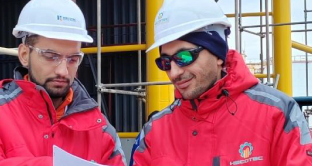
 Ongoing HECOTEC IDC aims to provide world-class Engineering, Procurement and Construction services in the Regional and Global Market.
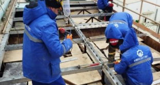
 Delivered HECOTEC IDC aims to provide world-class Engineering, Procurement and Construction services in the Regional and Global Market.
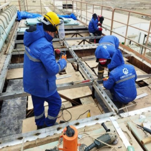
 Projects our staff involved HECOTEC IDC aims to provide world-class Engineering, Procurement and Construction services in the Regional and Global Market.
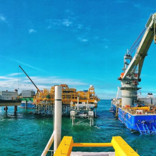